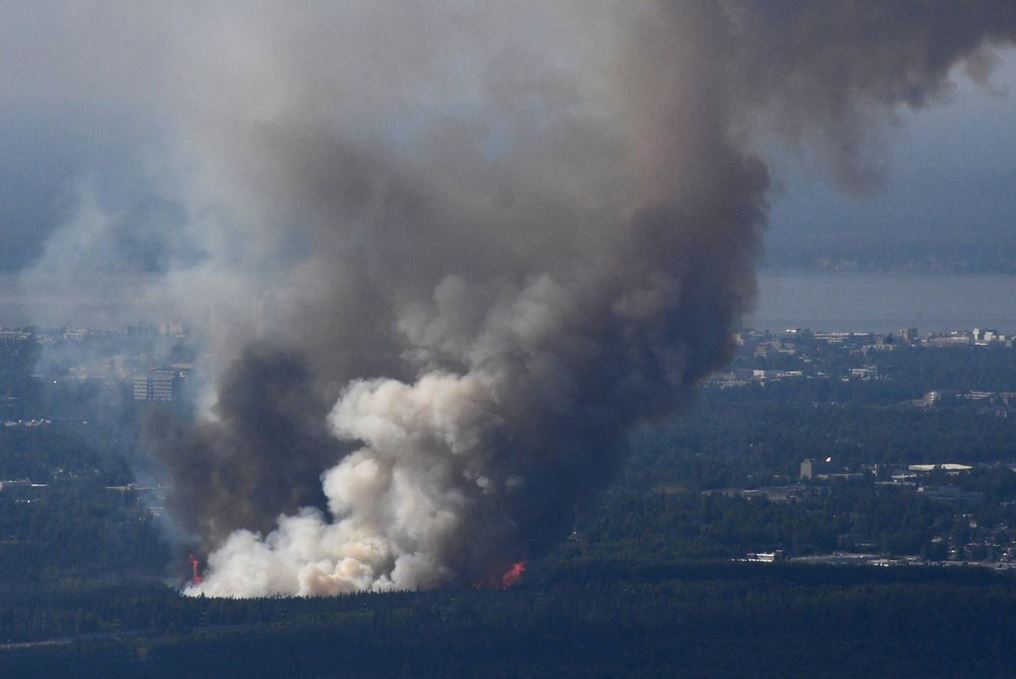
Wildfire Exposure
Wildfire exposure represents the likelihood that wildfire will get to and impact a location. Exposure is increased where accumulations of elevated flammability hazard are found.
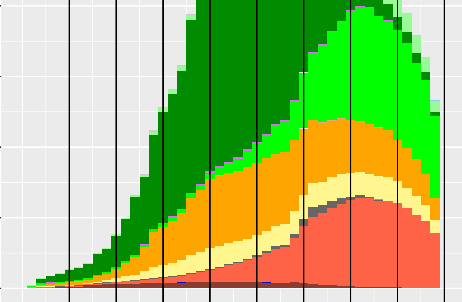
Fuel Treatments
A fuel treatment reduces the natural accumulations of live and dead vegetation that can fuel a wildfire.
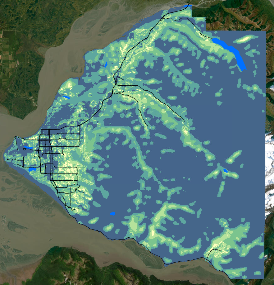
Web Apps
Web apps are online tools to help visualize and download spatial (GIS) data. We’ve compiled a list of web apps to view Alaska spatial data.